![]()
![]()
Our Experience
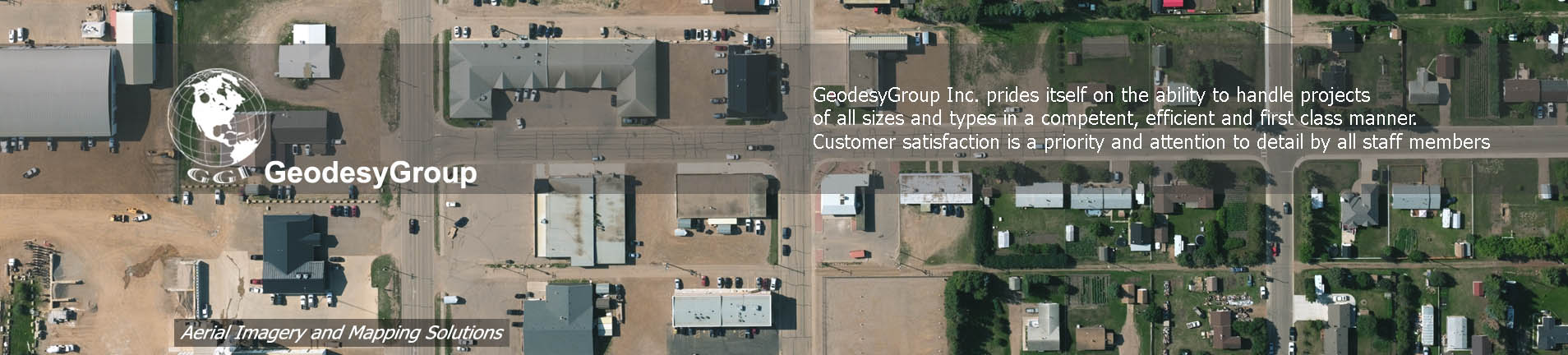
GeodesyGroup Inc. prides itself on the ability to handle projects
of all sizes and types in a competent, efficient and first class manner.
Customer satisfaction is a priority and attention to detail by all staff
members, in addition to following the professional and ethical standards
legislated by the Americam Society of Photogrammetry and Remote Sensing,
ensure consistent high quality products are delivered on time and within
budget using fair business practices. We welcome the opportunity to
discuss a custom solution for any aerial photography or mapping you may
require.
GeodesyGroup Inc. is an Alberta
incorporated company that has been providing comprehensive aerial
photography and mapping services from its Calgary base for the last 30
years. The management and personnel within the company have over 100 years
of combined experience in aerial data acquisition and photogrammetric
production. Numerous projects have been completed over these many years
that include both small and large-scale aerial photography,
photogrammetric mapping, orthophoto, topographic data collection and LiDAR
data acquisition..
With our 30 years experience as an ICAS qualified
aerial survey firm we have conducted photo surveys throughout all parts of
Canada including the Yukon and Arctic as well as the Western United
States. Our large format digital cameras Vexcel Ultracam XP and Ultracam
LP we are able to produce a full range of imagery be it pan, RGB(colour),
infrared or RGBI (colour infrared) at various ground sample distance (GSD)
from 4cm to 45cm. In our 30 years we have worked at all scales of photo
and these projects have been conducted for all three levels of government
and with a wide range of private industry to include utilities, forestry,
mining, oil and gas. Applications have included low-level photography for
facility management of airports, golf courses, urban mapping, irrigation
monitoring and archaeological studies.
![]() GeodseyGroup Inc. All Rights Reserved
GeodseyGroup Inc. All Rights Reserved