![]()
![]()
About Us
GeodesyGroup Inc. is based out of High River, Alberta, with its aircraft conveniently located nearby at the High River airport. The management and personnel within the company have over 100 years of combined experience in aerial data acquisition and photogrammetric production. Numerous projects have been completed that include both small and large-scale aerial photography, photogrammetric mapping, orthophoto, topographic data collection and LiDAR acquisition.
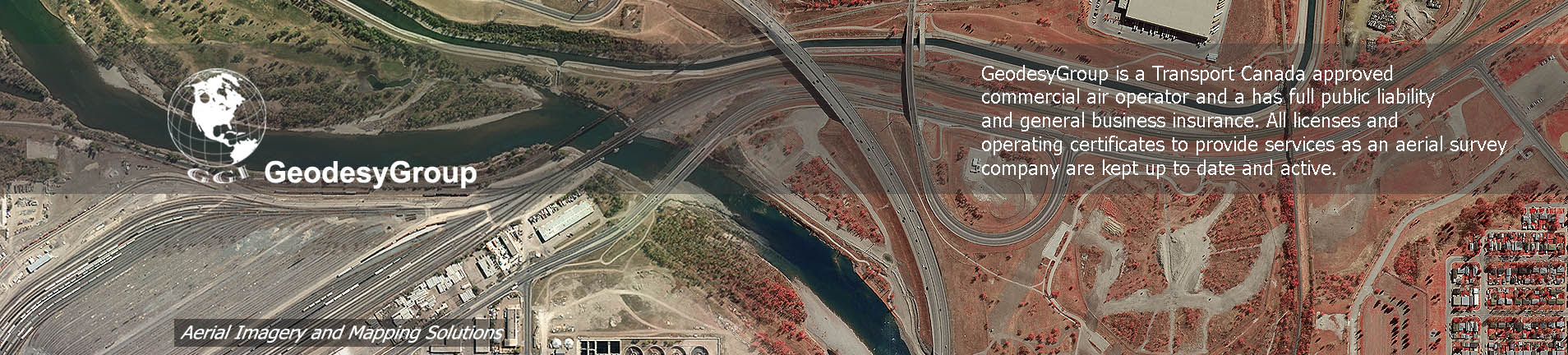
GeodesyGroup is a Transport Canada approved commercial air operator and a has full public liability and general business insurance. All licenses and operating certificates to provide services as an aerial survey company are kept up to date and active.
The company has developed and maintains an ongoing occupational health and safety program in association with the Alberta government. The firm also conducts a program of continuous employee training and education in all aspects of aerial survey acquisition and production to insure all staff are comprehensively skilled.
GeodesyGroup provides ‘turn-key’ solutions and is able to deliver complete ‘start-to-finish’ projects and deliverables. The firm has the experience, equipment and technologies necessary to execute the requirements for projects of all sizes and types in a competent, efficient and first class manner. Customer satisfaction is a priority and attention to detail by all staff members, in addition to following the professional and ethical standards legislated by the Americam Society of Photogrammetry and Remote Sensing, ensure consistent high quality products are delivered on time and within budget using fair business practices. We welcome the opportunity to discuss a custom solution for any aerial photography or mapping you may require.
![]() GeodseyGroup Inc. All Rights Reserved
GeodseyGroup Inc. All Rights Reserved