![]()
![]()

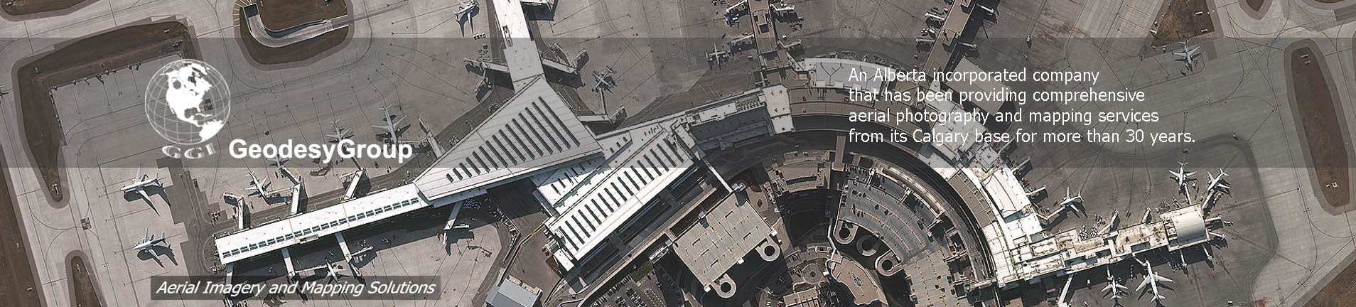
GeodesyGroup Inc. is an Alberta incorporated company that has been providing comprehensive aerial photography and mapping services from its Calgary base for more than 30 years. The company is an ICAS qualified aerial survey firm and conducts surveys throughout all parts of Canada including the Yukon, NWT and Arctic as well as the Western United States. In total, over 15,000 hours of survey for 6,000 individual projects have been flown, processed and delivered to satisfied clients.
GeodesyGroup employs the latest in technologies and equipment in order to provide their clients with the benefits these systems can offer. A full digital workflow is maintained and continually updated and upgraded to the highest standard. The staff at GeodesyGroup are professionally experienced, knowledgeable and kept abreast with the latest developments through frequent training and education.
The company currently owns three new generation large format digital cameras comprising of two Vexcel UltraCam XP’s and a Microsoft Vexcel UltraCam LP. These sensors are able to produce a full range of imagery be it black and white (pan), RGB (colour) or RGBN (colour infrared) at various ground sample distances (GSD) from 4 cm to 45 cm. GeodesyGroup offers LiDAR with its GeoLAS Q280U sensor that is co-mounted with a Trimble AIC Pro 65MP medium format camera. This facilitates the simultaneous collection of LiDAR and natural colour RGB imagery.
The company owns three aircraft; a Piper PA46-310P Jet-prop, a Piper PA31 Panther Navajo and a Cessna TU206D and any of the aforementioned sensors can be mounted in any aircraft.
![]() GeodseyGroup Inc. All Rights Reserved
GeodseyGroup Inc. All Rights Reserved